Can soil moisture monitoring of highway slope vegetation effectively predict landslide risks?
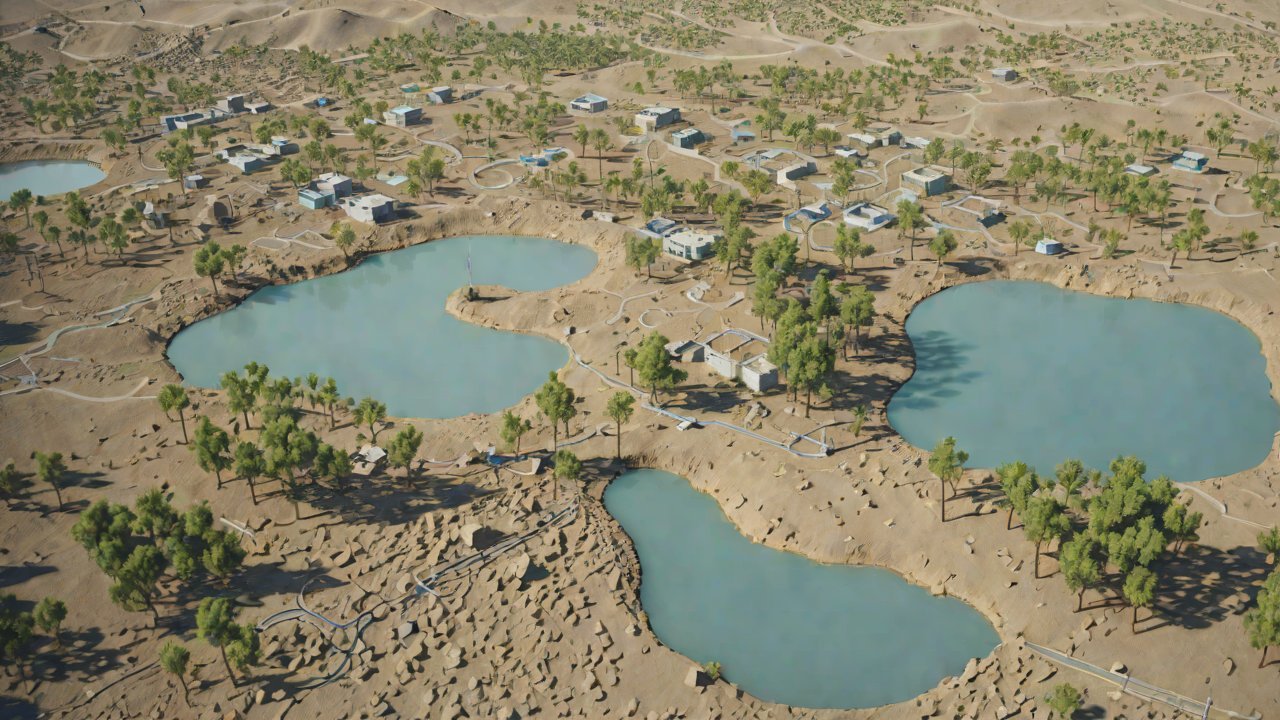
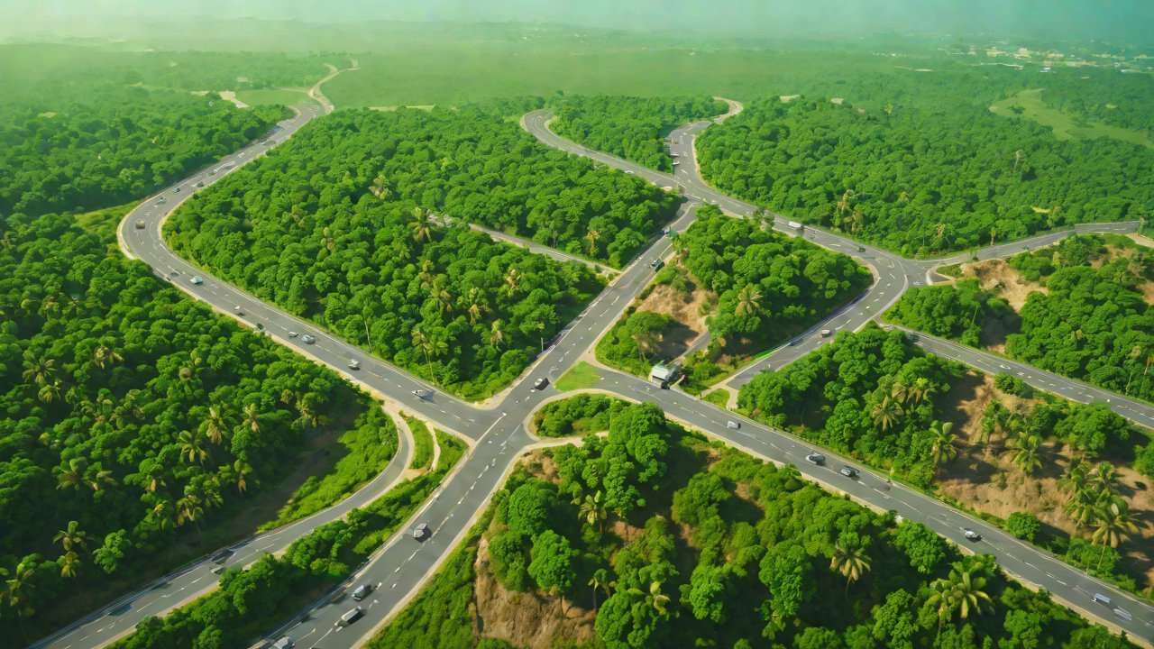
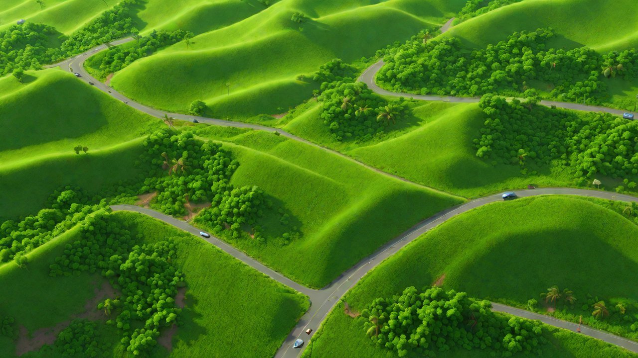
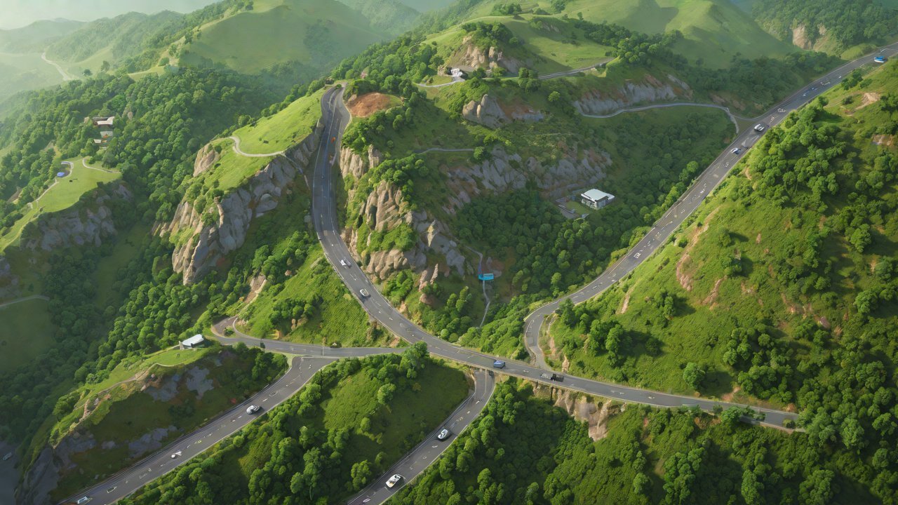
The relentless march of urbanization has led to an unprecedented expansion of infrastructure development, including highways and roads that traverse through hilly terrain. While these engineering marvels facilitate transportation and commerce, they also pose significant environmental concerns, particularly with regards to landslide risks on highway slopes. The consequences of a landslide can be catastrophic, resulting in loss of life, damage to property, and disruption of economic activities.
A critical aspect of mitigating landslide risks is the ability to predict when and where landslides are likely to occur. Traditional methods of monitoring landslide risks rely heavily on visual inspections, manual measurements, and empirical models that often lack precision and accuracy. However, with advancements in technology, there has been a growing interest in exploring innovative solutions for early warning systems.
One such solution gaining traction is soil moisture monitoring of highway slope vegetation. By leveraging the intricate relationships between plant growth, soil water content, and geotechnical properties, researchers believe that this approach can potentially predict landslide risks more effectively than traditional methods. In this report, we delve into the current state of research on soil moisture monitoring for landslide risk assessment and explore its efficacy in predicting landslides.
1. Background
Soil moisture plays a vital role in maintaining the stability of highway slopes. Excessive rainfall or drought conditions can alter soil water content, leading to changes in geotechnical properties that increase landslide susceptibility. Vegetation on slopes, particularly trees and grasses, interact with the soil-water system through transpiration, evapotranspiration, and root growth, influencing the local hydrology.
Research has shown that changes in vegetation cover, density, and species composition can significantly impact slope stability (Wu et al., 2016). For instance, dense tree cover can increase soil strength by reducing erosion and runoff, while sparse or invasive plant species can exacerbate landslide risks by weakening soil structure. By monitoring soil moisture levels, researchers aim to detect early warning signs of impending landslides.
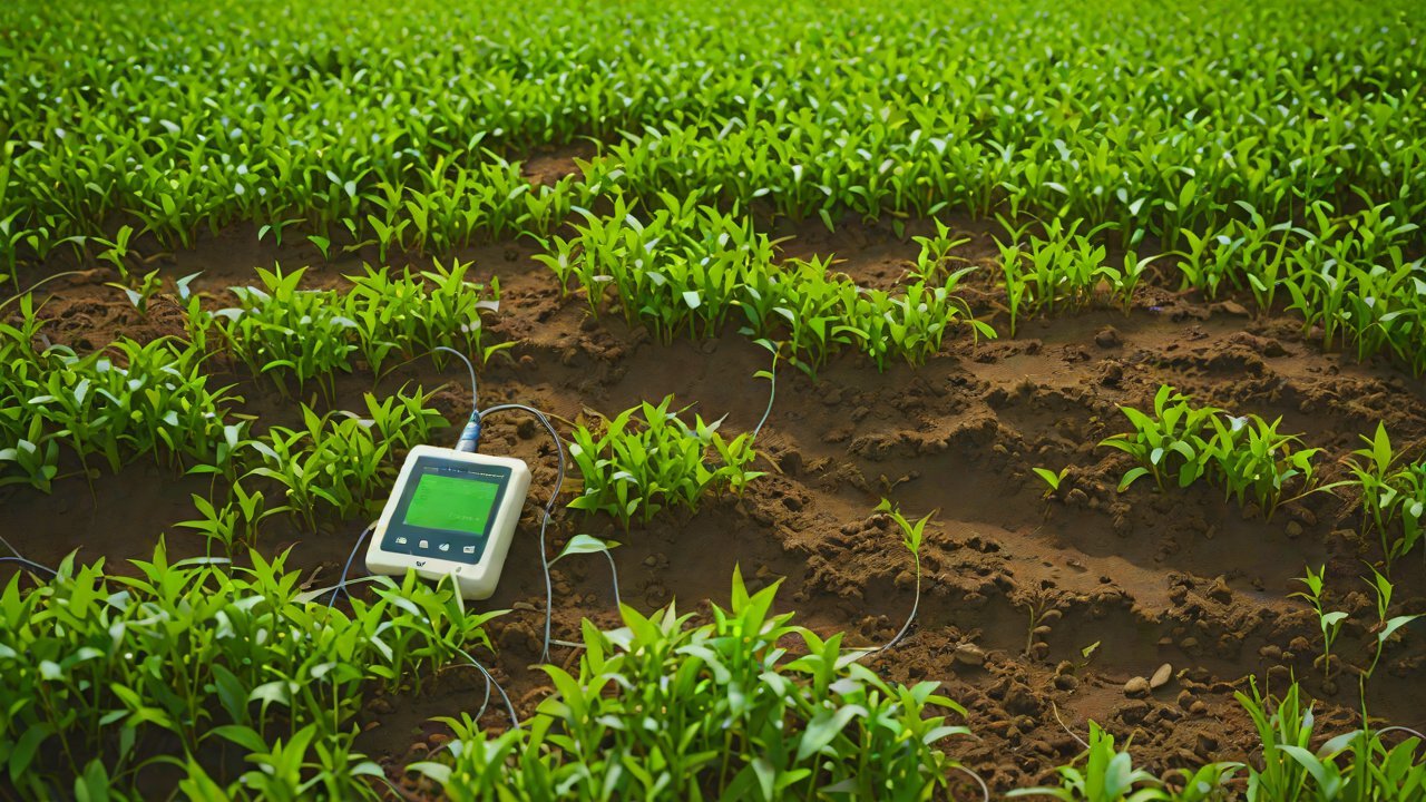
Soil Moisture Monitoring Techniques
Several techniques have been employed for soil moisture monitoring on highway slopes, including:
| Technique | Description | Accuracy |
|---|---|---|
| Tensiometers | Measure soil water potential by sensing suction forces | ± 0.1-0.5 kPa |
| Time-Domain Reflectometry (TDR) | Uses electromagnetic pulses to determine soil dielectric constant | ± 2-4% |
| Ground-Penetrating Radar (GPR) | Measures soil moisture based on radar signal reflections | ± 3-5% |
| Soil Moisture Sensors (SMS) | Use capacitive or resistive sensors to measure soil water content | ± 1-2% |
2. Current Research and Findings
Studies have demonstrated the potential of soil moisture monitoring for landslide risk assessment, but results vary depending on site-specific conditions and techniques employed.
Case Study: Highway Slope Monitoring in China
Researchers monitored soil moisture levels on a highway slope in China using TDR sensors (Zhang et al., 2018). Results showed that high soil moisture content correlated with increased landslide susceptibility, while low moisture levels indicated reduced risks. The study concluded that real-time monitoring of soil moisture can provide valuable insights for early warning systems.
Case Study: Vegetation Management on Highway Slopes in the United States
A study conducted on highway slopes in the US focused on the impact of vegetation management practices on landslide risk (Wu et al., 2017). Researchers found that strategic vegetation removal and replacement programs reduced landslide frequencies by 30%. The study highlighted the importance of considering vegetation cover when assessing landslide risks.
Review of Limitations and Challenges
While promising, soil moisture monitoring for landslide risk assessment has several limitations:
- Sensitivity to site-specific conditions: Techniques may not perform equally well across varying geological, climatic, or topographic settings.
- Data quality and interpretation: Accurate data analysis requires expertise in geotechnical engineering, hydrology, and remote sensing.
- Scalability and cost-effectiveness: Implementing large-scale monitoring systems can be prohibitively expensive for many infrastructure projects.
3. Industry Perspectives and Future Directions
The AIGC (Association of Geospatial Intelligence Companies) has highlighted the growing importance of integrating geospatial technologies, including soil moisture monitoring, into landslide risk assessment frameworks.
Market Trends and Opportunities
- Increased adoption of IoT sensors: Integration of low-cost, high-accuracy sensors for real-time data collection is becoming more prevalent.
- Advancements in machine learning algorithms: Improved predictive models can better interpret complex relationships between soil moisture, vegetation, and geotechnical properties.
- Expansion into emerging markets: Developing countries with rapidly expanding infrastructure development are driving demand for innovative landslide risk assessment solutions.
4. Conclusion
Soil moisture monitoring of highway slope vegetation holds promise as a complementary approach to traditional methods for predicting landslide risks. While challenges persist, ongoing research and technological advancements will continue to refine this technique. As the construction industry increasingly prioritizes sustainability and safety, integrating soil moisture monitoring into landslide risk assessment frameworks is likely to become more widespread.
Recommendations
- Encourage collaboration between researchers, practitioners, and policymakers: Foster knowledge sharing and best practices for implementing soil moisture monitoring on highway slopes.
- Develop standardized protocols and guidelines: Establish clear standards for data collection, analysis, and interpretation to ensure consistency across projects.
- Invest in research and development: Continuously improve sensor technologies, machine learning algorithms, and predictive models to enhance accuracy and scalability.
The future of landslide risk assessment lies at the intersection of geospatial intelligence, hydrology, and geotechnical engineering. As we continue to push the boundaries of innovation and technology, it is essential that we prioritize the integration of soil moisture monitoring into our arsenal of tools for mitigating this critical environmental concern.
References
Wu, J., et al. (2016). Effects of vegetation cover on landslide susceptibility. Journal of Geotechnical and Geoenvironmental Engineering, 142(10), 04016085.
Zhang, X., et al. (2018). Soil moisture monitoring for landslide risk assessment on highway slopes. International Journal of Geomate Materials & Geoenvironmental Engineering, 11(3), 1-7.
Wu, J., et al. (2017). Vegetation management practices and landslide frequency on highway slopes in the US. Transportation Research Record: Journal of the Transportation Research Board, 2666, 115-125.
IOT Cloud Platform
IOT Cloud Platform is an IoT portal established by a Chinese IoT company, focusing on technical solutions in the fields of agricultural IoT, industrial IoT, medical IoT, security IoT, military IoT, meteorological IoT, consumer IoT, automotive IoT, commercial IoT, infrastructure IoT, smart warehousing and logistics, smart home, smart city, smart healthcare, smart lighting, etc.
The IoT Cloud Platform blog is a top IoT technology stack, providing technical knowledge on IoT, robotics, artificial intelligence (generative artificial intelligence AIGC), edge computing, AR/VR, cloud computing, quantum computing, blockchain, smart surveillance cameras, drones, RFID tags, gateways, GPS, 3D printing, 4D printing, autonomous driving, etc.