Which is more accurate: satellite remote sensing or ground-based soil moisture IoT?
Satellite remote sensing and ground-based soil moisture Internet of Things (IoT) are two distinct technologies used to measure soil moisture levels, a critical component in agriculture, hydrology, and climate modeling. While both methods have their strengths and weaknesses, determining which one is more accurate requires a comprehensive analysis of their respective methodologies, data quality, and application areas.
1. Background
Soil moisture plays a vital role in various environmental processes, including plant growth, water cycling, and energy balance. Its measurement has become increasingly important due to the need for precise agricultural management, efficient water resource allocation, and improved climate modeling. Two primary approaches are employed to measure soil moisture: satellite remote sensing and ground-based IoT sensors.
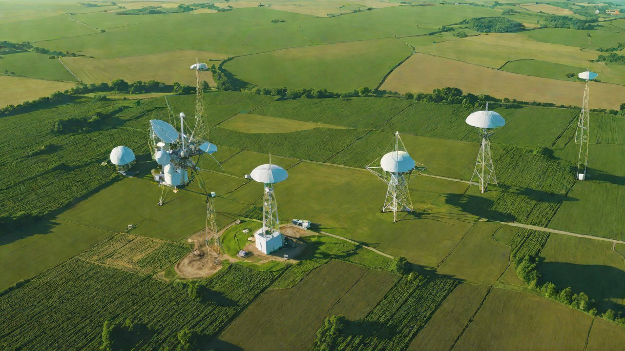
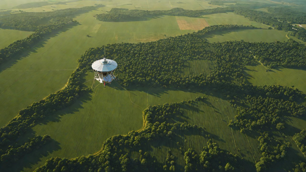
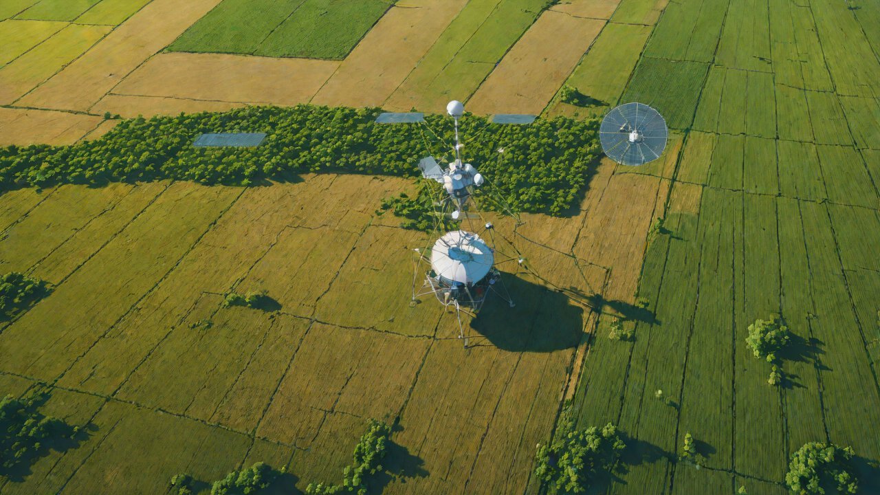
Satellite remote sensing involves using satellites equipped with specialized instruments to capture data on soil moisture levels from space. This method offers a high spatial resolution, covering vast areas in a single pass, but is limited by the accuracy of the satellite’s sensor technology and the impact of environmental factors such as cloud cover and topography.
Ground-based IoT sensors, on the other hand, involve deploying networks of sensors directly into the soil to measure moisture levels. This approach provides high temporal resolution and accurate measurements at specific locations but is limited by its spatial coverage and the need for extensive infrastructure installation and maintenance.
2. Satellite Remote Sensing Methodology
Satellite remote sensing uses various electromagnetic wavelengths (microwave, infrared, and visible) to estimate soil moisture levels. The most common satellite-based methods include:
- Microwave Radiometry: Measures the microwave radiation emitted by the soil surface, which is related to the water content.
- Passive Microwave Remote Sensing: Uses the thermal emission of the soil surface to estimate moisture levels.
Some notable examples of satellites used for soil moisture remote sensing are:
| Satellite | Launch Year | Sensor |
|---|---|---|
| SMOS (Soil Moisture and Ocean Salinity) | 2009 | MIRAS (Microwave Imaging Radiometer with Aperture Synthesis) |
| SMAP (Soil Moisture Active Passive) | 2015 | L-Band Radar and Radiometer |
3. Ground-Based Soil Moisture IoT Sensors
Ground-based soil moisture IoT sensors employ various technologies to measure moisture levels, including:
- Tensiometers: Measures the tension in the soil water, which is related to the moisture content.
- Time-Domain Reflectometry (TDR): Uses electromagnetic pulses to estimate the moisture levels.
- Neutron Scattering: Counts the neutron scattering caused by hydrogen atoms in the soil.
Some notable examples of ground-based IoT sensors are:
| Sensor Type | Manufacturer |
|---|---|
| Tensiometer | Delta-T Devices |
| TDR | Campbell Scientific |
| Neutron Scattering | METER Group |

4. Data Quality and Accuracy Comparison
Comparing the accuracy of satellite remote sensing and ground-based IoT sensors is challenging due to their different measurement principles and spatial scales. However, some studies suggest that:
- Satellite remote sensing: Has a higher uncertainty (±10-20%) compared to ground-based measurements.
- Ground-based IoT sensors: Provide accurate measurements (±1-5%) but are limited by their spatial coverage.
5. Application Areas and Future Developments
Both satellite remote sensing and ground-based IoT sensors have different application areas:
- Satellite remote sensing: Suitable for large-scale monitoring, climate modeling, and water resource management.
- Ground-based IoT sensors: Ideal for precision agriculture, irrigation management, and soil health monitoring.
Future developments include the integration of satellite data with ground-based measurements to improve accuracy and spatial coverage. Additionally, advancements in sensor technology and data processing algorithms will enhance the reliability and usability of both methods.
6. Conclusion
Determining which method is more accurate depends on the specific application area and requirements. Satellite remote sensing offers a high spatial resolution but may be limited by its accuracy due to environmental factors. Ground-based IoT sensors provide accurate measurements at specific locations but are restricted by their spatial coverage.
Ultimately, a combination of both methods, leveraging their strengths and compensating for their weaknesses, will lead to more accurate soil moisture measurements and better decision-making in various fields.
IOT Cloud Platform
IOT Cloud Platform is an IoT portal established by a Chinese IoT company, focusing on technical solutions in the fields of agricultural IoT, industrial IoT, medical IoT, security IoT, military IoT, meteorological IoT, consumer IoT, automotive IoT, commercial IoT, infrastructure IoT, smart warehousing and logistics, smart home, smart city, smart healthcare, smart lighting, etc.
The IoT Cloud Platform blog is a top IoT technology stack, providing technical knowledge on IoT, robotics, artificial intelligence (generative artificial intelligence AIGC), edge computing, AR/VR, cloud computing, quantum computing, blockchain, smart surveillance cameras, drones, RFID tags, gateways, GPS, 3D printing, 4D printing, autonomous driving, etc.