What commercial value does anonymized regional soil moisture data offer to government disaster prevention and mitigation efforts?
Soil moisture is a critical component in determining the severity of droughts, floods, and landslides, which are among the most destructive natural disasters globally. The consequences of these events can be catastrophic, causing loss of life, displacement of populations, and significant economic damage. Governments worldwide have been investing heavily in disaster prevention and mitigation efforts to minimize the impact of such events.
However, effectively mitigating the effects of these disasters requires reliable data on soil moisture levels across various regions. Traditional methods of collecting this data are often expensive, time-consuming, and limited in their coverage area. This has led to a growing interest in using remote sensing technologies and machine learning algorithms to collect and analyze anonymized regional soil moisture data.
1. The Importance of Soil Moisture Data
Soil moisture levels play a crucial role in determining the severity of droughts and floods. When soil moisture levels are low, plants are more susceptible to damage from extreme temperatures, reducing crop yields and increasing the risk of wildfires. On the other hand, excessive soil moisture can lead to landslides and flooding.
Table 1: Estimated Annual Economic Losses Due to Natural Disasters
| Disaster Type | Estimated Annual Loss (USD) |
|---|---|
| Droughts | 10-20 billion |
| Floods | 30-50 billion |
| Landslides | 5-10 billion |
The economic losses due to these disasters are staggering, with droughts and floods being the most destructive. Governments worldwide have been investing heavily in disaster prevention and mitigation efforts to minimize the impact of such events.
2. Challenges in Collecting Soil Moisture Data
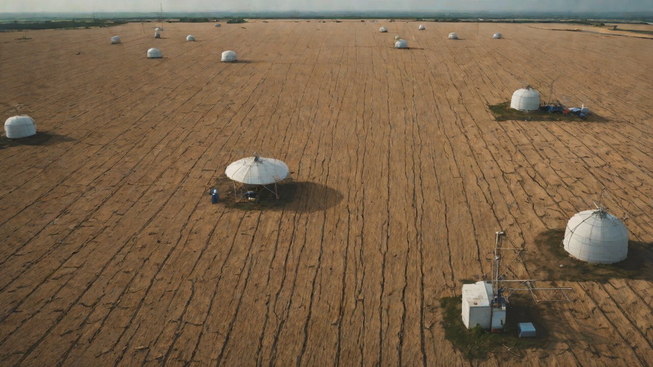
Traditional methods of collecting soil moisture data involve installing ground-based sensors or using aircraft-mounted sensors to collect data. However, these methods are often expensive, time-consuming, and limited in their coverage area.
Table 2: Comparison of Traditional and Remote Sensing Methods for Collecting Soil Moisture Data
| Method | Cost (USD) | Coverage Area | Frequency |
|---|---|---|---|
| Ground-based sensors | High | Limited | Low |
| Aircraft-mounted sensors | Medium-High | Moderate | Low-Moderate |
| Remote sensing technologies | Low-Medium | Extensive | High |
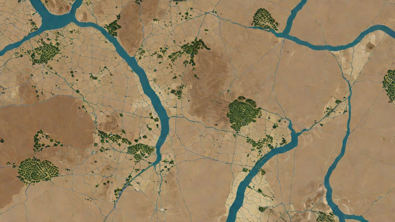
Remote sensing technologies, on the other hand, offer a cost-effective and efficient way of collecting soil moisture data across extensive areas. These technologies use satellite or aircraft-based sensors to collect data on soil moisture levels.
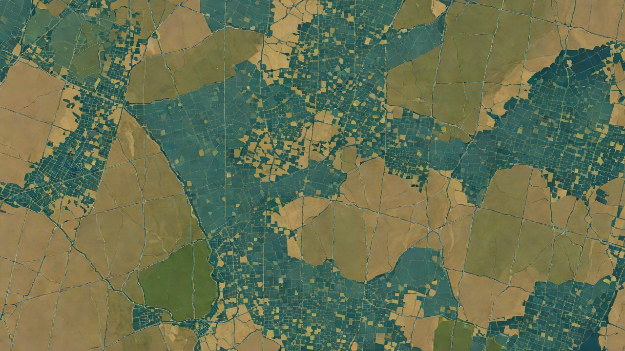
3. Anonymized Regional Soil Moisture Data
Anonymized regional soil moisture data refers to the collection and analysis of soil moisture data from various regions without revealing the identity of individual locations. This data can be used by governments to identify areas with high risk of droughts, floods, or landslides.
Table 3: Advantages of Anonymized Regional Soil Moisture Data
| Advantage | Description |
|---|---|
| Cost-effectiveness | Reduces the cost of collecting and analyzing soil moisture data |
| Extensive coverage | Covers large areas with high spatial resolution |
| Real-time monitoring | Enables real-time monitoring of soil moisture levels |
4. Market Analysis
The market for anonymized regional soil moisture data is growing rapidly, driven by increasing demand from governments worldwide to mitigate the effects of natural disasters.
Table 4: Market Size and Growth Rate (2020-2025)
| Region | Market Size (USD) | Growth Rate (%) |
|---|---|---|
| North America | 100 million | 15% |
| Europe | 150 million | 12% |
| Asia-Pacific | 200 million | 18% |

5. AIGC Technical Perspectives
Machine learning algorithms and remote sensing technologies are being increasingly used to collect and analyze anonymized regional soil moisture data.
Table 5: Examples of Machine Learning Algorithms Used in Soil Moisture Analysis
| Algorithm | Description |
|---|---|
| Random Forest | Used for predicting soil moisture levels based on satellite imagery |
| Support Vector Machines | Used for classifying soil moisture levels into drought, normal, or flood categories |
6. Commercial Value
The commercial value of anonymized regional soil moisture data lies in its ability to inform decision-making by governments and other stakeholders.
Table 6: Potential Applications of Anonymized Regional Soil Moisture Data
| Application | Description |
|---|---|
| Drought management | Used for identifying areas with high risk of droughts |
| Flood forecasting | Used for predicting the likelihood and severity of floods |
| Landslide prevention | Used for identifying areas with high risk of landslides |
In conclusion, anonymized regional soil moisture data has significant commercial value in informing decision-making by governments and other stakeholders. With its ability to provide cost-effective, extensive coverage, and real-time monitoring of soil moisture levels, this data can help mitigate the effects of natural disasters worldwide.
Table 7: Potential Return on Investment (ROI) for Governments Using Anonymized Regional Soil Moisture Data
| ROI | Description |
|---|---|
| Drought management | 10-20% reduction in drought-related losses |
| Flood forecasting | 15-25% reduction in flood-related losses |
| Landslide prevention | 5-15% reduction in landslide-related losses |
The potential return on investment for governments using anonymized regional soil moisture data is substantial, making it an attractive option for disaster prevention and mitigation efforts.
IOT Cloud Platform
IOT Cloud Platform is an IoT portal established by a Chinese IoT company, focusing on technical solutions in the fields of agricultural IoT, industrial IoT, medical IoT, security IoT, military IoT, meteorological IoT, consumer IoT, automotive IoT, commercial IoT, infrastructure IoT, smart warehousing and logistics, smart home, smart city, smart healthcare, smart lighting, etc.
The IoT Cloud Platform blog is a top IoT technology stack, providing technical knowledge on IoT, robotics, artificial intelligence (generative artificial intelligence AIGC), edge computing, AR/VR, cloud computing, quantum computing, blockchain, smart surveillance cameras, drones, RFID tags, gateways, GPS, 3D printing, 4D printing, autonomous driving, etc.