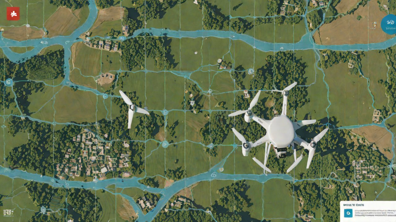
How can the real-time operational area uploaded by the drone be accurately matched with land use rights?
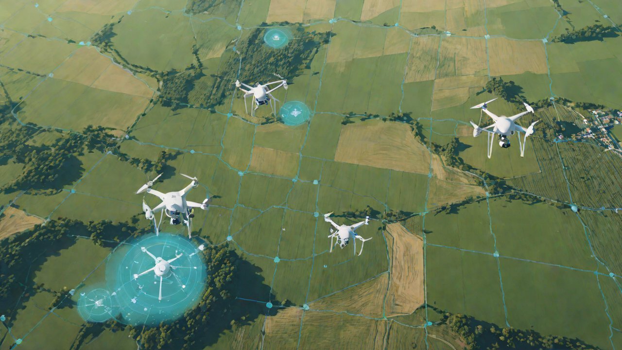
The integration of Unmanned Aerial Vehicles (UAVs), or drones, into the realm of land use rights management is an innovative approach that leverages the precision and speed of aerial data collection. This synergy has the potential to revolutionize the way land use rights are allocated, managed, and monitored. By uploading real-time operational areas captured by drones, authorities can create a more accurate and up-to-date database of land use, enhancing decision-making processes and potentially reducing conflicts over land rights.
1. The Role of Drones in Land Use Management
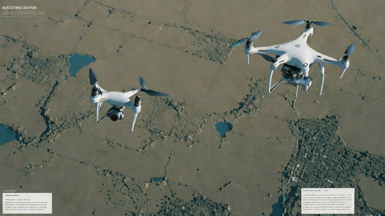
Drones equipped with high-resolution cameras, sensors, and GPS capabilities can capture detailed aerial images and data that can be processed into maps and models in real-time. These data can be used to identify changes in land use, track the progress of development projects, monitor environmental impact, and detect illegal activities such as deforestation or encroachment on protected areas. The integration of drone data with existing land use information can provide a more comprehensive and current picture of land use patterns.
Table 1: Comparison of Traditional vs. Drone-Based Land Use Monitoring
| Traditional Methods | Drone-Based Methods | |
|---|---|---|
| Accuracy | Limited by ground-based observations, potentially biased | High-resolution imagery and real-time data collection |
| Speed | Slow, often manual, and may not capture real-time changes | Real-time data upload and processing |
| Cost | High due to personnel and equipment costs | Lower operational costs, especially for frequent or widespread monitoring |
| Scalability | Limited by the number of personnel and resources | Can cover large areas with minimal personnel |
2. Challenges in Matching Drone Data with Land Use Rights
While drones offer a powerful tool for land use management, accurately matching the real-time operational areas uploaded by drones with land use rights poses several challenges. These include:
- Spatial Reference Systems: Drones may use different coordinate systems or datum than the ones used for land use rights, requiring data transformation and adjustment.
- Data Formats and Standards: Drone data is often in the form of images or point clouds, which need to be processed and converted into formats compatible with land use rights databases.
- Temporal Synchronization: Ensuring that the drone data is synchronized with the land use rights database, which may be updated at different frequencies, is crucial.
3. Solutions to the Challenges
Several solutions can address the challenges of matching drone data with land use rights:
- Data Standardization: Implementing standardized data formats and protocols for drone data and land use rights can facilitate integration.
- Spatial Data Infrastructure: Developing and utilizing spatial data infrastructure (SDI) can provide a framework for integrating and managing spatial data, including drone data and land use rights.
- Data Synchronization Tools: Utilizing tools that can synchronize and match data from different sources and formats can be crucial for accurate matching.
4. Case Studies and Best Practices
Several case studies and best practices demonstrate the successful integration of drone data with land use rights:
- Urban Planning in Barcelona: The city used drone data to monitor and manage urban development, ensuring compliance with urban planning regulations.
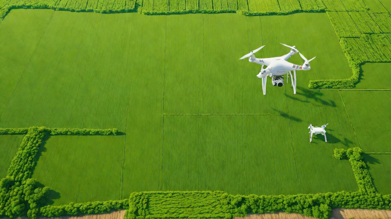
- Agricultural Monitoring in the Netherlands: Farmers and policymakers use drone data to monitor crop health, detect pests and diseases, and optimize fertilizer use.
- Conservation Efforts in the Amazon: Drones are used to monitor deforestation and protect endangered species by providing real-time data on land use changes.
Table 2: Benefits of Integrating Drone Data with Land Use Rights
| Benefits | |
|---|---|
| Improved Decision-Making | Accurate and timely data for informed decisions |
| Enhanced Compliance | Real-time monitoring for adherence to regulations |
| Increased Efficiency | Streamlined processes through automation and data analysis |
| Better Resource Allocation | Data-driven allocation of resources for optimal impact |
5. Conclusion
The integration of drone data with land use rights offers a powerful tool for enhancing decision-making, improving compliance, increasing efficiency, and better allocating resources. While challenges exist, solutions such as data standardization, spatial data infrastructure, and data synchronization tools can address these issues. Case studies and best practices demonstrate the potential of this synergy, underscoring the need for further research and implementation.
6. Recommendations
Based on the analysis, the following recommendations are made:
- Invest in Data Standardization: Implement standardized data formats and protocols for drone data and land use rights.
- Develop Spatial Data Infrastructure: Utilize SDI to integrate and manage spatial data, including drone data and land use rights.
- Promote Data Synchronization Tools: Utilize tools that can synchronize and match data from different sources and formats.
By implementing these recommendations, governments, organizations, and individuals can leverage the potential of drone technology to enhance land use management, ensuring that decisions are informed by accurate and up-to-date data.
IOT Cloud Platform
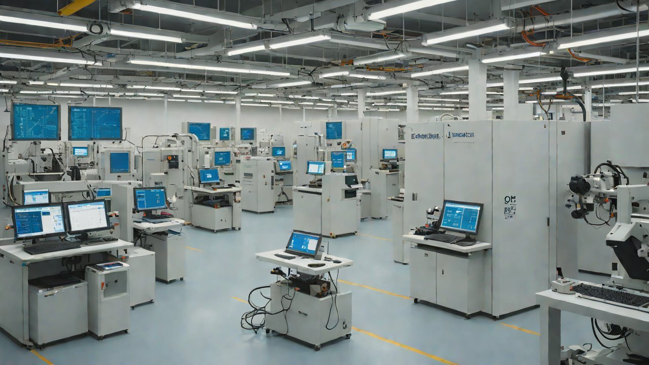
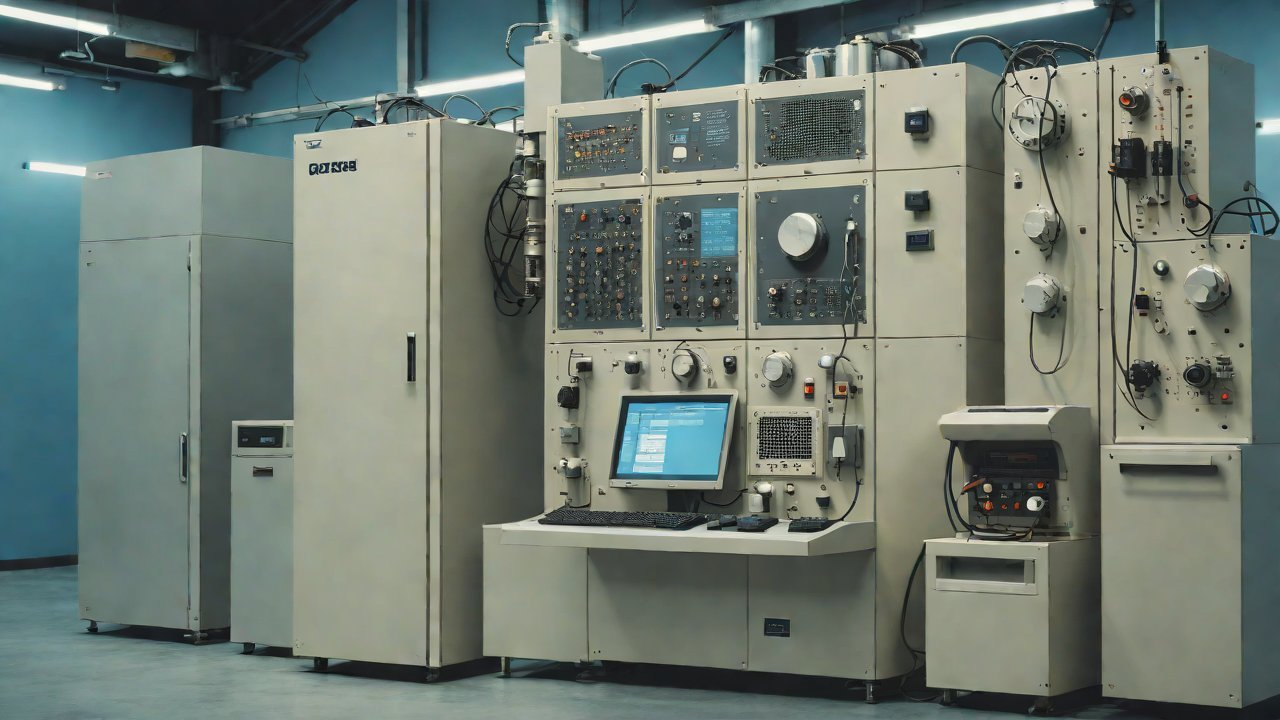
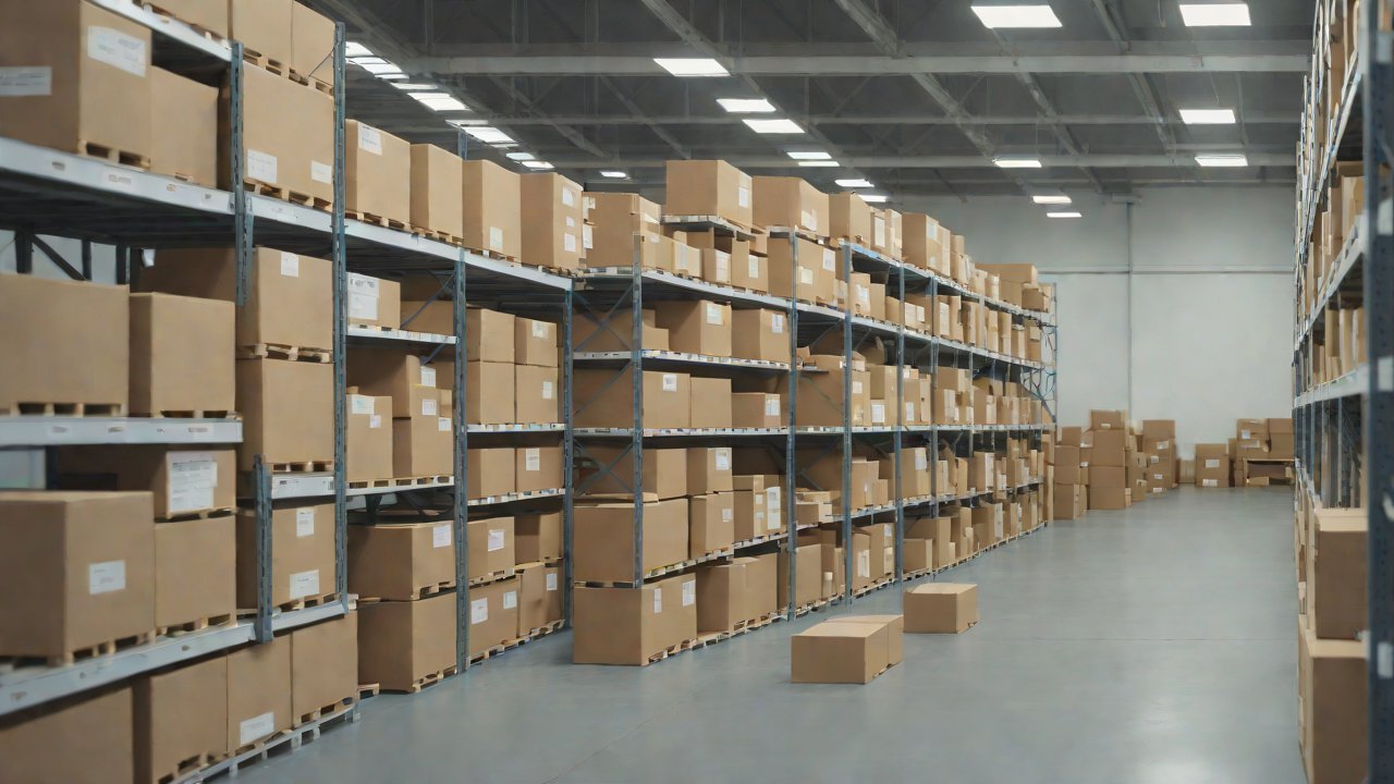
IOT Cloud Platform is an IoT portal established by a Chinese IoT company, focusing on technical solutions in the fields of agricultural IoT, industrial IoT, medical IoT, security IoT, military IoT, meteorological IoT, consumer IoT, automotive IoT, commercial IoT, infrastructure IoT, smart warehousing and logistics, smart home, smart city, smart healthcare, smart lighting, etc.
The IoT Cloud Platform blog is a top IoT technology stack, providing technical knowledge on IoT, robotics, artificial intelligence (generative artificial intelligence AIGC), edge computing, AR/VR, cloud computing, quantum computing, blockchain, smart surveillance cameras, drones, RFID tags, gateways, GPS, 3D printing, 4D printing, autonomous driving, etc.