How can satellite links support real-time drone operations in remote, signal-less mountainous areas?
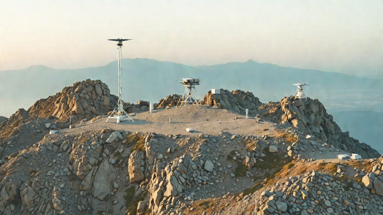
Satellite links have revolutionized the way we communicate and conduct operations in remote, signal-less areas. With the proliferation of drones in various industries, including agriculture, construction, and environmental monitoring, the need for real-time drone operations in these areas has become increasingly critical. However, traditional ground-based communication networks often fail to provide reliable connectivity in mountainous regions due to terrain-induced signal attenuation, making satellite links an attractive solution.
Satellite links offer several benefits that make them an ideal choice for real-time drone operations in remote areas. Firstly, they provide global coverage, allowing drones to communicate with their operators and control centers from anywhere in the world. Secondly, satellite links are not affected by terrain-induced signal attenuation, ensuring reliable connectivity even in areas with challenging topography. Thirdly, satellite links can support high-bandwidth applications, enabling the transmission of high-definition video and other data-intensive payloads.
1. Satellite Communication Technology
Satellite communication technology has made significant advancements in recent years, enabling the development of smaller, more efficient, and cost-effective satellite systems. There are several types of satellite communication systems, including Geostationary (GEO), Medium Earth Orbit (MEO), and Low Earth Orbit (LEO) satellites. Each type of satellite has its own strengths and weaknesses, and the choice of satellite system depends on the specific application and requirements.
| Satellite Type | Orbit | Latency | Bandwidth |
|---|---|---|---|
| GEO | 36,000 km | 240-270 ms | 10-100 Mbps |
| MEO | 20,000 km | 100-150 ms | 100-1000 Mbps |
| LEO | 1,000-2,000 km | 20-50 ms | 100-1000 Mbps |
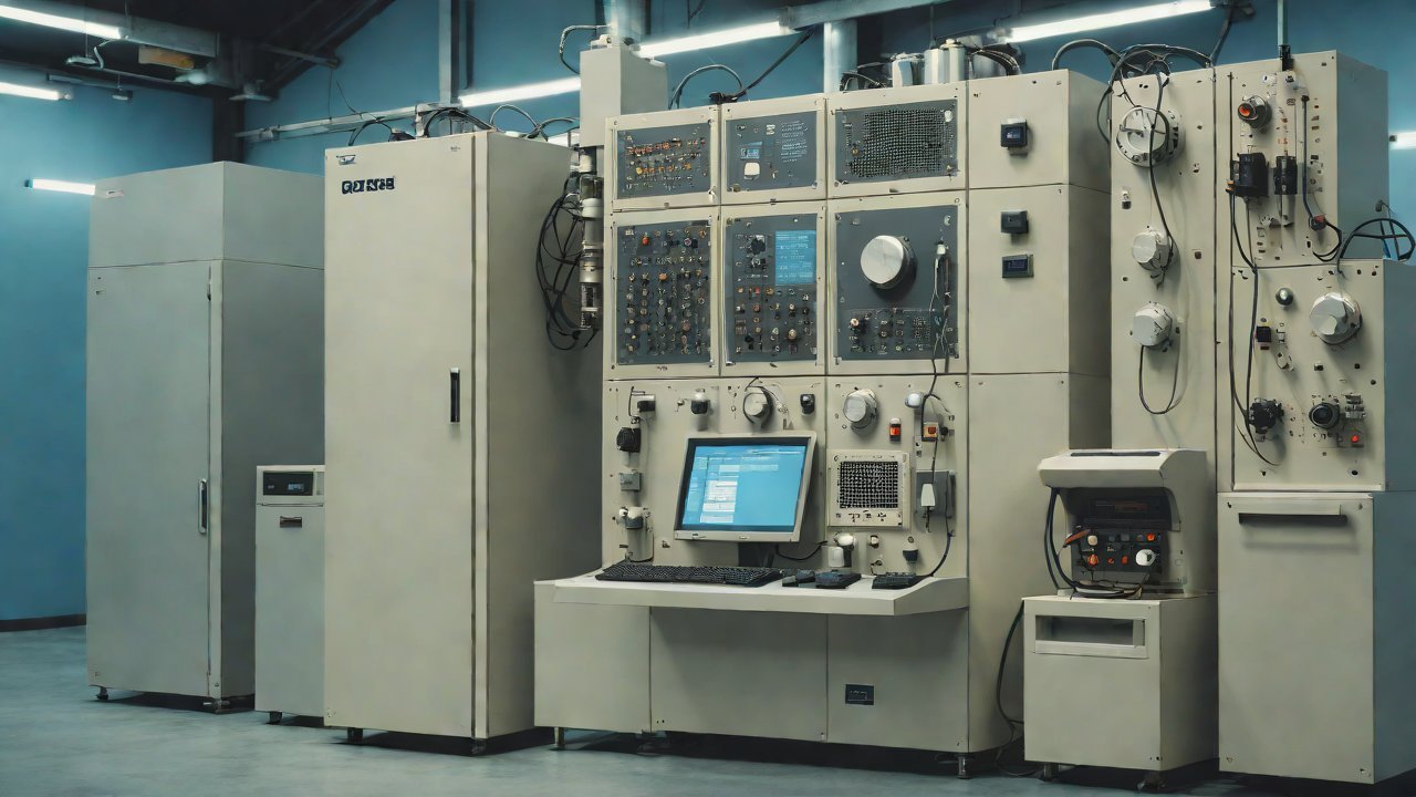
2. Satellite Link Components
A satellite link consists of several components, including the satellite, ground station, and user terminal. The satellite is the central component of the system, responsible for receiving and transmitting signals to and from the ground station and user terminal. The ground station is used to uplink signals to the satellite and downlink signals from the satellite, while the user terminal is used to communicate with the satellite.
| Component | Description |
|---|---|
| Satellite | Receives and transmits signals to and from the ground station and user terminal |
| Ground Station | Uplinks signals to the satellite and downlinks signals from the satellite |
| User Terminal | Communicates with the satellite |

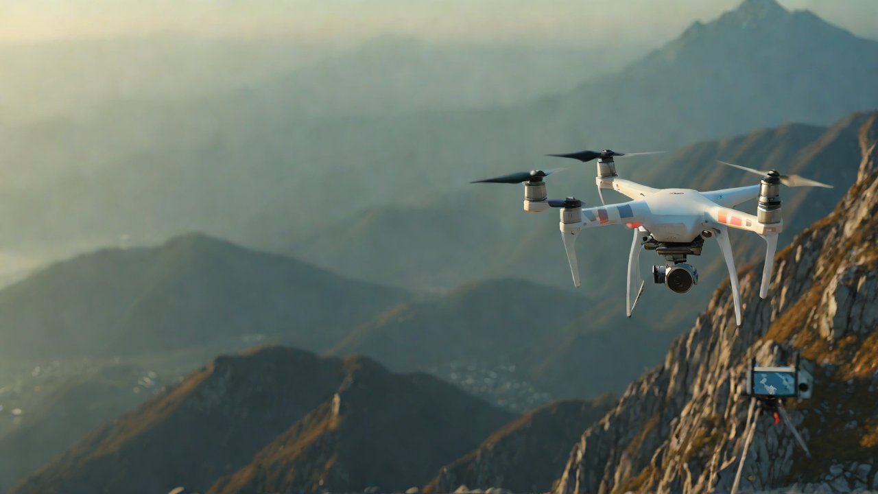
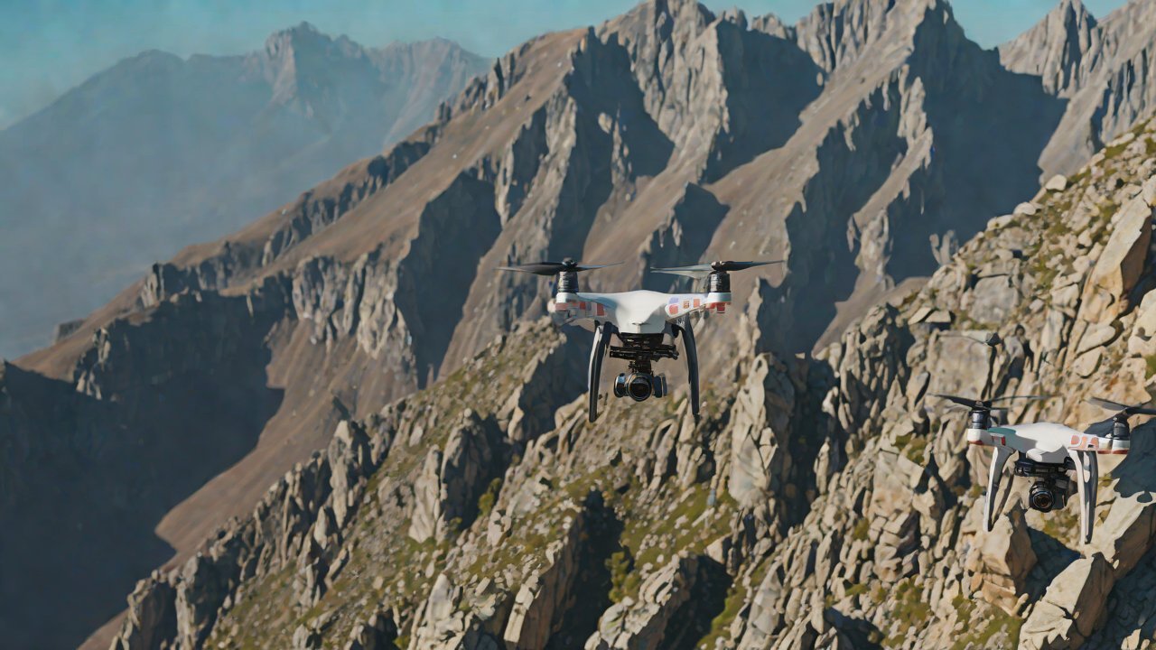
3. Real-Time Drone Operations
Real-time drone operations require low-latency and high-bandwidth communication links to ensure that the drone can transmit and receive data in real-time. Satellite links can support real-time drone operations by providing low-latency and high-bandwidth connections between the drone and the control center.
| Application | Latency Requirements | Bandwidth Requirements |
|---|---|---|
| Video transmission | < 100 ms | 100-1000 Mbps |
| Telemetry data | < 50 ms | 10-100 Mbps |
| Control signals | < 20 ms | 1-10 Mbps |
4. Market Trends and Outlook
The market for satellite links in drone operations is expected to grow significantly in the coming years, driven by increasing demand for real-time drone operations in remote areas. According to a report by MarketsandMarkets, the global satellite communication market is expected to reach $14.5 billion by 2025, growing at a CAGR of 13.6%.
| Market Segment | 2020 | 2025 | CAGR |
|---|---|---|---|
| Satellite Communication | $6.3 billion | $14.5 billion | 13.6% |
| Drone Operations | $1.5 billion | $3.5 billion | 15.6% |
5. Technical Challenges and Solutions
While satellite links offer several benefits for real-time drone operations, there are several technical challenges that need to be addressed. These challenges include signal attenuation, interference, and latency. To overcome these challenges, several solutions are being developed, including the use of high-gain antennas, error-correcting codes, and advanced modulation techniques.
| Challenge | Solution |
|---|---|
| Signal attenuation | High-gain antennas |
| Interference | Error-correcting codes |
| Latency | Advanced modulation techniques |
6. Case Studies
Several companies are already using satellite links to support real-time drone operations in remote areas. For example, NASA’s Mars Curiosity Rover uses a satellite link to transmit data back to Earth, while the European Space Agency’s (ESA) Galileo satellite navigation system uses a satellite link to transmit navigation data to drones.
| Company | Application | Location |
|---|---|---|
| NASA | Mars Curiosity Rover | Mars |
| ESA | Galileo satellite navigation system | Europe |
7. Conclusion
Satellite links offer several benefits for real-time drone operations in remote areas, including global coverage, reliable connectivity, and high-bandwidth applications. While there are several technical challenges that need to be addressed, several solutions are being developed to overcome these challenges. As the demand for real-time drone operations in remote areas continues to grow, the market for satellite links is expected to grow significantly in the coming years.
IOT Cloud Platform
IOT Cloud Platform is an IoT portal established by a Chinese IoT company, focusing on technical solutions in the fields of agricultural IoT, industrial IoT, medical IoT, security IoT, military IoT, meteorological IoT, consumer IoT, automotive IoT, commercial IoT, infrastructure IoT, smart warehousing and logistics, smart home, smart city, smart healthcare, smart lighting, etc.
The IoT Cloud Platform blog is a top IoT technology stack, providing technical knowledge on IoT, robotics, artificial intelligence (generative artificial intelligence AIGC), edge computing, AR/VR, cloud computing, quantum computing, blockchain, smart surveillance cameras, drones, RFID tags, gateways, GPS, 3D printing, 4D printing, autonomous driving, etc.