How can drone multispectral data be fused with underground sensor data?
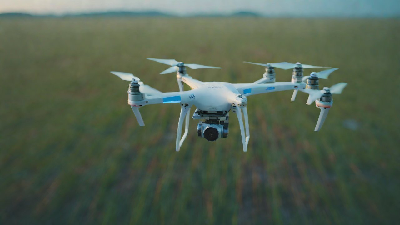
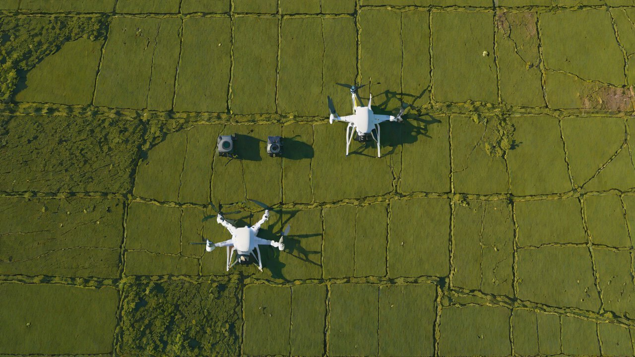
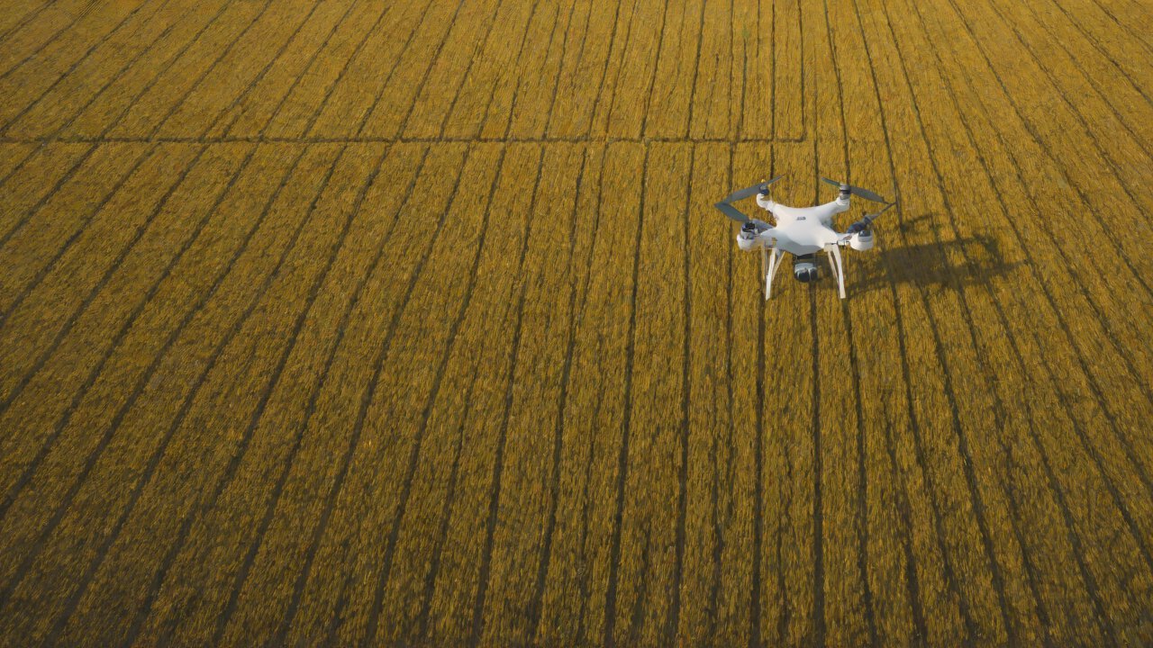
Drone multispectral data and underground sensor data are two distinct types of data that hold immense potential for monitoring and optimizing agricultural, environmental, and infrastructure projects. Drone multispectral data provides a bird’s eye view of the terrain, capturing detailed information about vegetation health, soil moisture, and crop yields. On the other hand, underground sensor data offers a more granular understanding of subsurface conditions, including soil temperature, humidity, and gas composition. However, the value of these data types lies in their fusion, allowing for a more comprehensive understanding of the underground-terrain dynamics.
The fusion of drone multispectral data with underground sensor data requires a multidisciplinary approach, incorporating expertise from remote sensing, geophysics, and data science. This report will delve into the technical, practical, and market aspects of fusing these two data types, providing a comprehensive framework for implementation.
1. Technical Considerations
Fusing drone multispectral data with underground sensor data poses several technical challenges:
- Data formats and resolutions: Drone multispectral data is typically captured in raster format, with resolutions ranging from 10 cm to 1 m. Underground sensor data, on the other hand, is often recorded in time-series format, with varying sampling rates and resolutions. Ensuring compatibility between these formats is crucial.
- Spatial and temporal registration: Drone multispectral data is often captured at a specific time and location, while underground sensor data may be recorded over a longer period or at multiple locations. Registering these data types requires accounting for spatial and temporal variations.
- Data quality and accuracy: Both data types are susceptible to errors and uncertainties. Ensuring the accuracy and reliability of the fused data is essential.
To address these challenges, researchers have employed various techniques, including:
| Method | Description |
|---|---|
| Orthorectification | Correcting for geometric distortions in drone multispectral data |
| InSAR | Interferometric synthetic aperture radar for monitoring subsurface deformation |
| Machine learning | Developing algorithms to fuse and predict underground-terrain dynamics |
2. Sensor Selection and Placement
Selecting and placing underground sensors is critical for accurate data collection. Factors to consider include:
- Sensor type: Choosing sensors that measure the desired parameters, such as temperature, humidity, or gas composition.
- Sensor placement: Strategically placing sensors to ensure optimal data coverage and minimize spatial and temporal variations.
- Power and communication: Ensuring reliable power supply and data transmission between sensors and the surface.
Some popular underground sensor types include:
| Sensor Type | Description |
|---|---|
| Temperature sensors | Measuring soil temperature |
| Humidity sensors | Monitoring soil moisture levels |
| Gas sensors | Detecting gas composition and leakage |
3. Data Preprocessing and Fusion
Preprocessing and fusing drone multispectral and underground sensor data involves several steps:
- Data cleaning: Removing errors and outliers from both data types.
- Data normalization: Standardizing units and scales for consistent comparison.
- Feature extraction: Identifying relevant features from both data types, such as vegetation indices and soil moisture levels.
Fusion techniques include:
| Method | Description |
|---|---|
| PCA | Principal component analysis for dimensionality reduction |
| ICA | Independent component analysis for separating mixed signals |
| Neural networks | Training algorithms to fuse and predict underground-terrain dynamics |
4. Market and Application Perspectives
The fusion of drone multispectral data with underground sensor data has far-reaching implications for various industries:
- Agriculture: Optimizing crop yields, monitoring soil health, and detecting early signs of drought or disease.
- Environmental monitoring: Tracking changes in soil moisture, temperature, and gas composition to inform conservation efforts.
- Infrastructure management: Monitoring subsurface conditions to detect potential infrastructure failures and optimize maintenance schedules.
Market size and growth projections for the drone and sensor markets are promising:
| Market | Size (2023) | Growth Rate (2023-2028) |
|---|---|---|
| Drone market | $13.4B | 12.1% |
| Sensor market | $24.6B | 10.5% |
5. Future Research Directions
While significant progress has been made in fusing drone multispectral data with underground sensor data, several research directions remain:
- Real-time data fusion: Developing algorithms for real-time fusion and prediction of underground-terrain dynamics.
- Multi-sensor fusion: Integrating data from multiple sensor types and drone platforms.
- Scalability and automation: Developing frameworks for large-scale deployment and automation of data collection and fusion.
The fusion of drone multispectral data with underground sensor data holds immense potential for optimizing various industries and applications. By addressing technical, practical, and market challenges, researchers and practitioners can unlock the full value of these data types, leading to improved decision-making and outcomes.
IOT Cloud Platform
IOT Cloud Platform is an IoT portal established by a Chinese IoT company, focusing on technical solutions in the fields of agricultural IoT, industrial IoT, medical IoT, security IoT, military IoT, meteorological IoT, consumer IoT, automotive IoT, commercial IoT, infrastructure IoT, smart warehousing and logistics, smart home, smart city, smart healthcare, smart lighting, etc.
The IoT Cloud Platform blog is a top IoT technology stack, providing technical knowledge on IoT, robotics, artificial intelligence (generative artificial intelligence AIGC), edge computing, AR/VR, cloud computing, quantum computing, blockchain, smart surveillance cameras, drones, RFID tags, gateways, GPS, 3D printing, 4D printing, autonomous driving, etc.