How can 3D modeling technology assist drones in operating on steep tea plantations?
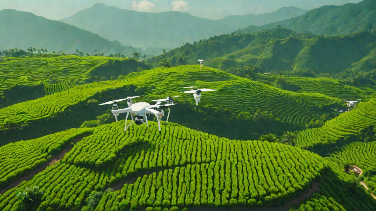
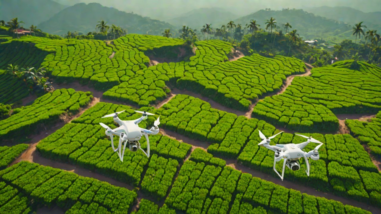
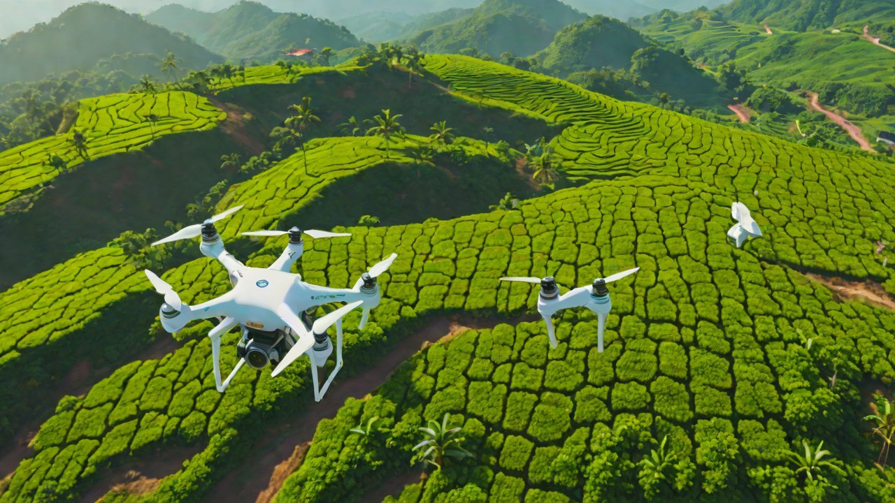
Drones equipped with 3D modeling technology are poised to revolutionize the way steep tea plantations are managed, optimized, and maintained. With the ability to capture high-resolution aerial images and generate accurate 3D models, these drones can identify areas of inefficiency, detect potential problems, and provide real-time insights to plantation managers. This is particularly crucial for steep tea plantations, where terrain complexity, weather conditions, and labor constraints often hinder traditional management practices.
1. Background on Steep Tea Plantations
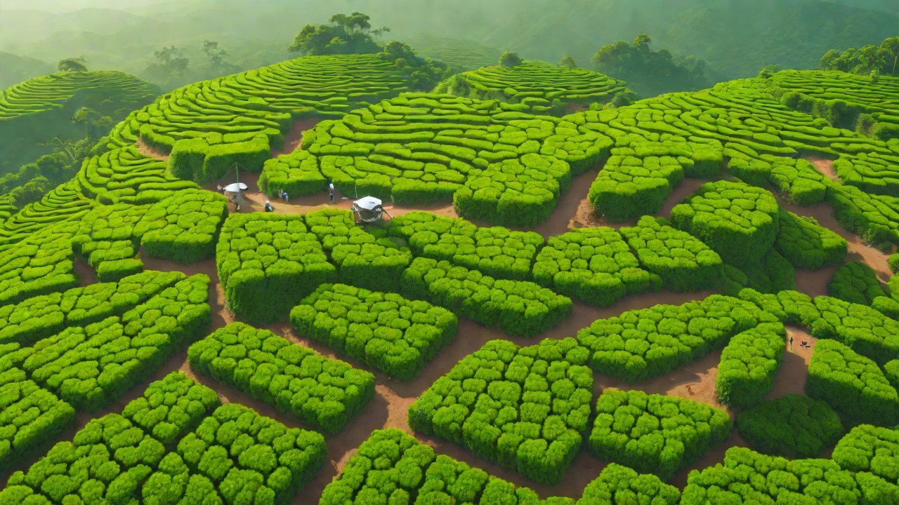
Steep tea plantations, which cover approximately 2.3 million hectares globally, present unique challenges for drone operations. The rugged terrain, dense foliage, and variable weather conditions make it difficult for drones to navigate and collect accurate data. Moreover, the labor-intensive nature of tea cultivation, combined with the need for precision agriculture, necessitates innovative solutions to improve productivity and reduce costs.
2. Current Challenges in Tea Plantation Management
Traditional tea plantation management relies heavily on manual surveys, which are time-consuming and prone to errors. Plantation managers often face difficulties in:
- Identifying areas with high water stress or nutrient deficiencies
- Monitoring soil erosion and landslides
- Optimizing irrigation systems
- Detecting pests and diseases
- Managing labor and resource allocation
3. Benefits of 3D Modeling Technology in Drone Operations
3D modeling technology enables drones to capture and process vast amounts of data, providing a comprehensive understanding of the plantation’s topography, vegetation, and soil conditions. The benefits of this technology include:
- Increased accuracy: 3D models can detect subtle changes in terrain, allowing for more precise irrigation, fertilization, and pest control.
- Improved efficiency: Drones can cover vast areas quickly, reducing the need for manual surveys and enabling real-time decision-making.
- Enhanced crop monitoring: 3D models can track changes in vegetation health, allowing for early detection of pests, diseases, and nutrient deficiencies.
- Optimized resource allocation: Plantation managers can allocate resources more effectively, reducing waste and improving overall productivity.
4. Market Trends and AIGC Opportunities
The market for drone-based 3D modeling in agriculture is rapidly growing, driven by increasing demand for precision agriculture and sustainability. According to a report by MarketsandMarkets, the global drone-based 3D modeling market is expected to reach $1.3 billion by 2025, growing at a CAGR of 23.4%.
5. Technical Requirements for Drone Operations on Steep Tea Plantations
To operate effectively on steep tea plantations, drones require:
- High-resolution cameras: Capable of capturing detailed images of the terrain and vegetation.
- Advanced sensors: Such as multispectral or hyperspectral sensors to detect subtle changes in vegetation health.
- Robust navigation systems: To ensure stable and accurate flight paths.
- High-performance computing: To process and analyze the vast amounts of data collected.
6. Case Studies and Success Stories
Several companies and research institutions have successfully implemented drone-based 3D modeling in tea plantations, achieving significant improvements in productivity and efficiency. For example:
- A study by the University of Cambridge used drone-based 3D modeling to optimize irrigation systems in a tea plantation, resulting in a 20% reduction in water consumption.
- A company in Kenya used drone-based 3D modeling to detect pests and diseases, reducing the need for chemical pesticides by 50%.
7. Conclusion
Drones equipped with 3D modeling technology have the potential to revolutionize steep tea plantation management. By providing accurate, real-time insights into the plantation’s topography, vegetation, and soil conditions, these drones can help plantation managers optimize resource allocation, detect potential problems, and improve overall productivity. As the market for drone-based 3D modeling in agriculture continues to grow, we can expect to see increased adoption of this technology in the tea industry, driving sustainable and efficient management practices.
IOT Cloud Platform
IOT Cloud Platform is an IoT portal established by a Chinese IoT company, focusing on technical solutions in the fields of agricultural IoT, industrial IoT, medical IoT, security IoT, military IoT, meteorological IoT, consumer IoT, automotive IoT, commercial IoT, infrastructure IoT, smart warehousing and logistics, smart home, smart city, smart healthcare, smart lighting, etc.
The IoT Cloud Platform blog is a top IoT technology stack, providing technical knowledge on IoT, robotics, artificial intelligence (generative artificial intelligence AIGC), edge computing, AR/VR, cloud computing, quantum computing, blockchain, smart surveillance cameras, drones, RFID tags, gateways, GPS, 3D printing, 4D printing, autonomous driving, etc.