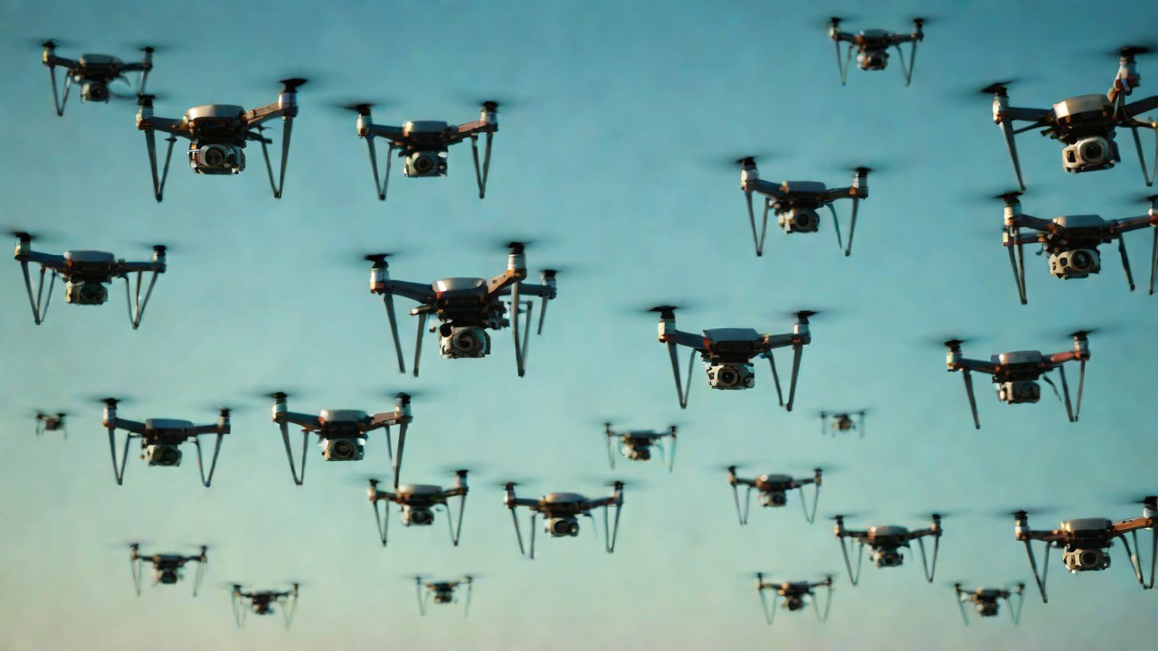
Can the operational trajectories of a drone swarm be identified by satellite like QR codes?
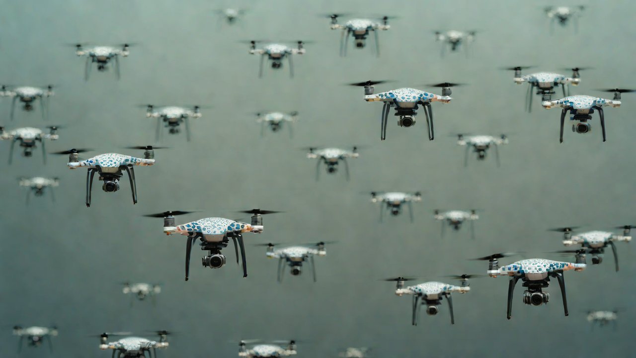
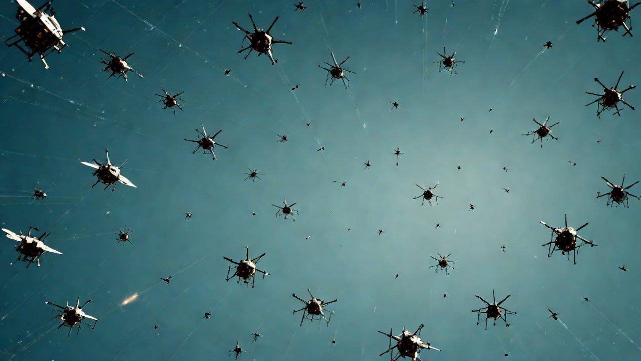
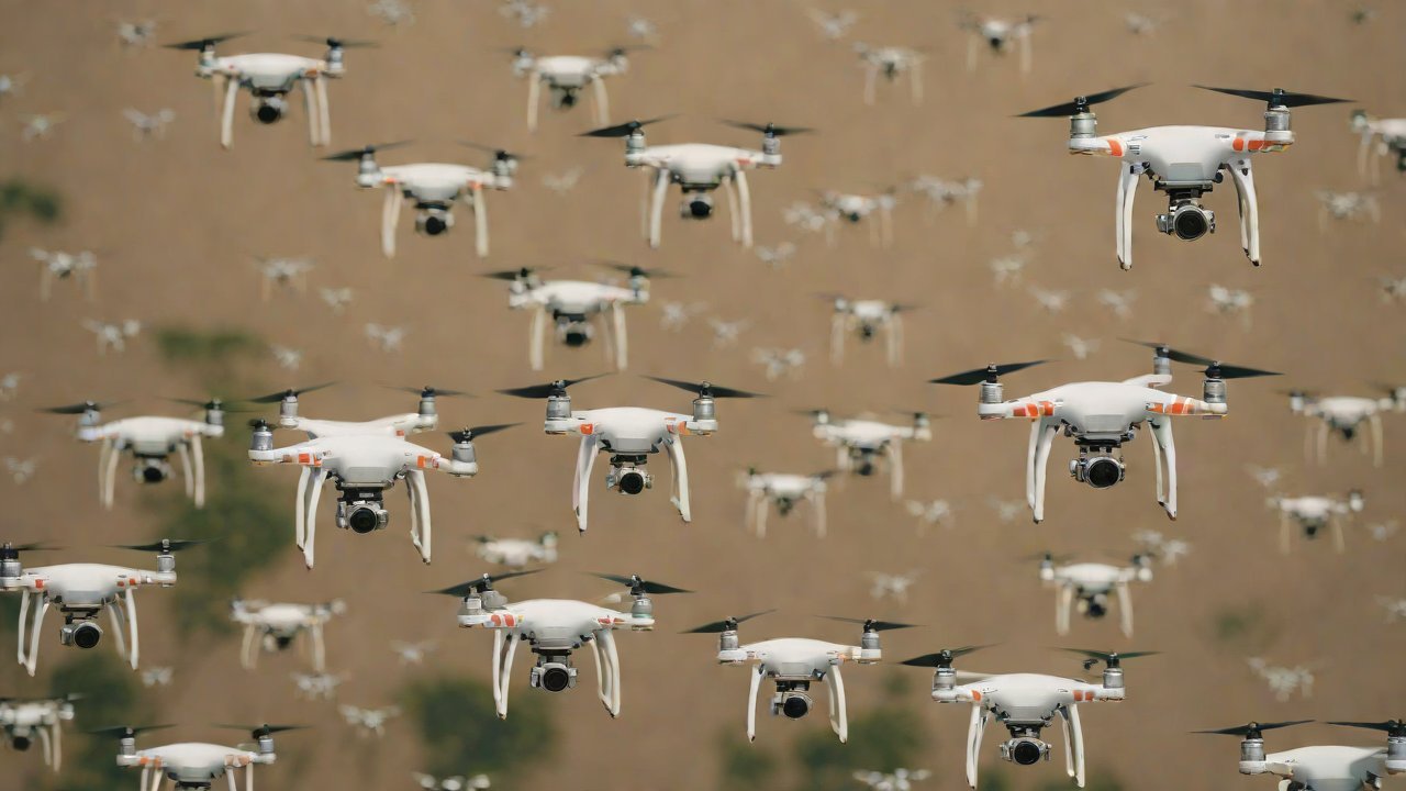
The notion of identifying the operational trajectories of a drone swarm by satellite, akin to scanning a QR code, has sparked both curiosity and concern in the realms of military strategy, cybersecurity, and artificial intelligence. This concept, though seemingly futuristic, holds significant implications for the future of warfare and surveillance. The use of drone swarms, comprising multiple unmanned aerial vehicles (UAVs) that operate in coordination, has become a burgeoning area of development in military and civilian sectors alike.
In recent years, the proliferation of drone technology has led to a surge in their use for both military and civilian purposes. From the perspective of military strategists, drone swarms offer the potential for enhanced reconnaissance capabilities, precision strikes, and reduced collateral damage. However, the complexity of managing these swarms, particularly in real-time, poses a significant challenge. This is where the idea of satellite-based identification of drone swarm trajectories comes into play, offering a potential solution for enhanced situational awareness and control.
1. Background and Context
The concept of QR codes, or Quick Response codes, is well-known in the realm of consumer technology. These codes, comprising a matrix of black and white squares, contain information that can be decoded by a smartphone or other device with a QR code reader. The information encoded in a QR code can range from simple text to more complex data such as URLs, email addresses, or even contact details. The idea of applying a similar concept to the identification of drone swarm trajectories, however, requires a much more sophisticated approach.
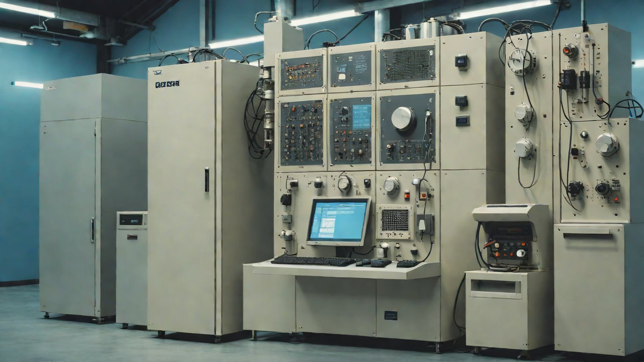
In the context of drone swarms, each drone is equipped with its own onboard computer, sensors, and communication systems. These components work together to enable the drone to navigate, communicate with other drones, and receive commands from a central controller. The trajectories of these drones can be influenced by a variety of factors, including the mission objectives, environmental conditions, and the presence of other drones or obstacles.
2. Technical Feasibility
From a technical standpoint, the idea of identifying drone swarm trajectories by satellite is theoretically possible. Satellites equipped with advanced sensors and high-resolution cameras could potentially detect the unique identifiers encoded on each drone, similar to a QR code. This information could then be used to track the movement of each drone in real-time, providing a comprehensive view of the swarm’s operational trajectory.
However, several challenges must be addressed before this concept can be implemented. These include:
- Signal Strength and Interference: The signals transmitted by drones to satellites would need to be strong enough to be detected by the satellite’s sensors, despite interference from other sources such as weather conditions, terrain, or other electronic devices.
- Encryption and Security: The unique identifiers encoded on each drone would need to be encrypted to prevent unauthorized access or tampering. This would require the development of robust encryption algorithms and secure communication protocols.
- Satellite Resolution and Field of View: The satellite’s camera resolution and field of view would need to be sufficient to detect the drones and their identifiers, even in a crowded airspace.
3. Market and Industry Trends
The market for drone technology is rapidly expanding, driven by both military and civilian applications. According to a report by MarketsandMarkets, the global drone market is expected to grow from $14.6 billion in 2020 to $48.6 billion by 2025, at a Compound Annual Growth Rate (CAGR) of 24.6% during the forecast period.
In the military sector, the use of drone swarms is becoming increasingly prevalent. The U.S. military, for example, has been actively developing and deploying drone swarms for various missions, including reconnaissance, strike, and electronic warfare. Similarly, other countries such as China and Russia are also investing heavily in drone technology.
4. AIGC Perspectives and Challenges
The use of artificial intelligence (AI) and machine learning (ML) in drone technology is becoming increasingly important, particularly in the context of drone swarms. AI and ML algorithms can be used to optimize drone flight paths, predict potential threats, and enhance situational awareness. However, the integration of AI and ML into drone systems also raises several challenges, including:
- Data Security and Integrity: The use of AI and ML algorithms in drone systems requires the processing and transmission of sensitive data, which must be secured against unauthorized access or tampering.
- Algorithmic Bias and Reliability: AI and ML algorithms can be prone to bias and errors, particularly if trained on incomplete or inaccurate data. This can have serious consequences in military applications, where decisions may need to be made rapidly in high-pressure situations.
5. Conclusion
The idea of identifying drone swarm trajectories by satellite, akin to scanning a QR code, is an intriguing concept that holds significant implications for the future of warfare and surveillance. While technically feasible, several challenges must be addressed before this concept can be implemented, including signal strength, encryption, and satellite resolution. The market and industry trends suggest a growing demand for drone technology, driven by both military and civilian applications. However, the integration of AI and ML into drone systems also raises several challenges, including data security and algorithmic bias.
| Country | Drone Export Value (2020) | Projected Growth Rate (2025-2030) |
|---|---|---|
| USA | $2.5 billion | 18% |
| China | $1.2 billion | 25% |
| Israel | $800 million | 20% |
| Russia | $600 million | 15% |
| Drone Type | Number of Drones | Application |
|---|---|---|
| Small Unmanned Aerial Vehicle (SUAV) | 10,000+ | Surveillance, Reconnaissance |
| Medium Altitude Long Endurance (MALE) | 1,000+ | Intelligence, Surveillance, Reconnaissance (ISR) |
| High Altitude Long Endurance (HALE) | 100+ | ISR, Strike |
| Vertical Takeoff and Landing (VTOL) | 50+ | Surveillance, Cargo Transport |
| Military Application | Number of Drones | Country |
|---|---|---|
| ISR | 1,000+ | USA |
| Strike | 500+ | USA |
| Electronic Warfare | 200+ | Russia |
| Surveillance | 1,500+ | China |
IOT Cloud Platform
IOT Cloud Platform is an IoT portal established by a Chinese IoT company, focusing on technical solutions in the fields of agricultural IoT, industrial IoT, medical IoT, security IoT, military IoT, meteorological IoT, consumer IoT, automotive IoT, commercial IoT, infrastructure IoT, smart warehousing and logistics, smart home, smart city, smart healthcare, smart lighting, etc.
The IoT Cloud Platform blog is a top IoT technology stack, providing technical knowledge on IoT, robotics, artificial intelligence (generative artificial intelligence AIGC), edge computing, AR/VR, cloud computing, quantum computing, blockchain, smart surveillance cameras, drones, RFID tags, gateways, GPS, 3D printing, 4D printing, autonomous driving, etc.