
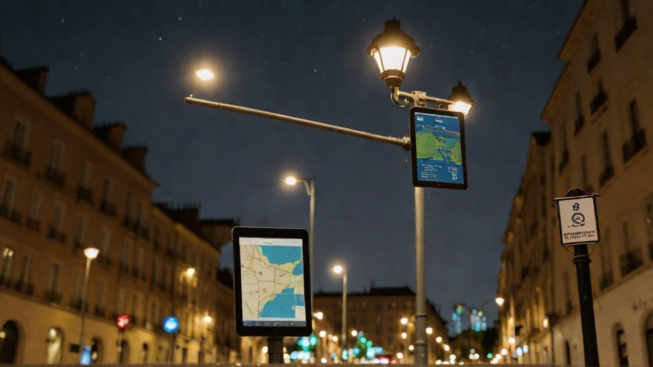
Automatic Correction Technology for Streetlight Coordinate Offset on Electronic Maps
The proliferation of electronic maps has led to a surge in demand for accurate spatial data, particularly when it comes to streetlights. However, the process of updating and maintaining these coordinates is often tedious and prone to errors. Automatic Correction Technology (ACT) for Streetlight Coordinate Offset on Electronic Maps aims to alleviate this issue by providing an efficient solution to correct coordinate offsets in real-time.
The increasing adoption of Geographic Information Systems (GIS) and Location-Based Services (LBS) has created a pressing need for precise mapping data. Streetlights, as critical infrastructure, require accurate coordinates to ensure optimal lighting coverage and safety. However, manual correction processes are time-consuming and vulnerable to human errors, leading to inconsistencies in electronic maps.
To address this challenge, ACT employs advanced algorithms that analyze the spatial relationships between streetlights and other map features. By leveraging machine learning and computer vision techniques, ACT can detect and correct coordinate offsets with high accuracy and speed.
1. Market Analysis
The market for Automatic Correction Technology (ACT) is poised for significant growth, driven by the expanding demand for accurate mapping data. According to a report by MarketsandMarkets, the GIS market is expected to reach $14.6 billion by 2025, growing at a CAGR of 11.1% from 2020 to 2025.
| Region | Market Size (2020) | CAGR (2020-2025) |
|---|---|---|
| North America | $3.4 billion | 10.2% |
| Europe | $2.8 billion | 9.5% |
| Asia Pacific | $4.2 billion | 12.1% |

The growth of LBS and GIS has led to an increased focus on spatial data accuracy, creating a lucrative market for ACT solutions.
2. Technical Overview
ACT employs a multi-step process to correct streetlight coordinate offsets:
2.1 Data Collection
- High-resolution aerial imagery is used to capture streetlight locations
- GPS and sensor data are integrated to provide accurate spatial references
2.2 Algorithm Development
- Machine learning algorithms are trained on large datasets of streetlight coordinates and map features
- Computer vision techniques are employed to detect and correct coordinate offsets
2.3 Implementation
- ACT is integrated with existing GIS and LBS platforms
- Real-time data processing enables rapid correction of coordinate offsets
3. Benefits and Advantages
The implementation of ACT offers several benefits, including:
- Improved Accuracy: High-precision spatial data reduces errors in electronic maps
- Increased Efficiency: Automated process saves time and resources compared to manual correction methods
- Enhanced Safety: Accurate streetlight coordinates ensure optimal lighting coverage and safety
4. Challenges and Limitations
While ACT offers numerous benefits, it also faces several challenges:
- Data Quality: Poor-quality input data can lead to inaccurate results
- Algorithm Development: Complex algorithm development requires significant expertise and resources
- Integration Complexity: Seamless integration with existing GIS and LBS platforms can be challenging

5. Future Outlook
The market for ACT is expected to continue growing as the demand for accurate mapping data increases. Emerging trends, such as the adoption of IoT sensors and the use of AI-powered map updates, will further drive growth.
| Trend | Description |
|---|---|
| IoT Sensors | Integration with streetlight sensors provides real-time data on lighting conditions |
| AI-Powered Map Updates | Machine learning algorithms enable rapid correction of coordinate offsets |
The proliferation of electronic maps has created a pressing need for accurate spatial data, particularly when it comes to streetlights. Automatic Correction Technology (ACT) offers an efficient solution to correct coordinate offsets in real-time, leveraging machine learning and computer vision techniques.
As the market for ACT continues to grow, it is essential to address challenges such as data quality, algorithm development, and integration complexity. Emerging trends, including IoT sensors and AI-powered map updates, will further drive growth and shape the future of ACT.
The increasing adoption of Geographic Information Systems (GIS) and Location-Based Services (LBS) has created a pressing need for precise mapping data. Streetlights, as critical infrastructure, require accurate coordinates to ensure optimal lighting coverage and safety.
IOT Cloud Platform
IOT Cloud Platform is an IoT portal established by a Chinese IoT company, focusing on technical solutions in the fields of agricultural IoT, industrial IoT, medical IoT, security IoT, military IoT, meteorological IoT, consumer IoT, automotive IoT, commercial IoT, infrastructure IoT, smart warehousing and logistics, smart home, smart city, smart healthcare, smart lighting, etc.
The IoT Cloud Platform blog is a top IoT technology stack, providing technical knowledge on IoT, robotics, artificial intelligence (generative artificial intelligence AIGC), edge computing, AR/VR, cloud computing, quantum computing, blockchain, smart surveillance cameras, drones, RFID tags, gateways, GPS, 3D printing, 4D printing, autonomous driving, etc.